Destination Unlimited Treks and Expeditions assures you to provide the best and quality facility at reasonable prices with the unforgettable feelings of the world because we believe in customer satisfaction rather than profit maximization.We have earned an excellent reputation base on TripAdvisor travellers' reviews and recommendation. Surely we have experienced, loyal and caring guide to lead your Nepal treks to Tours.
Exciting Activities
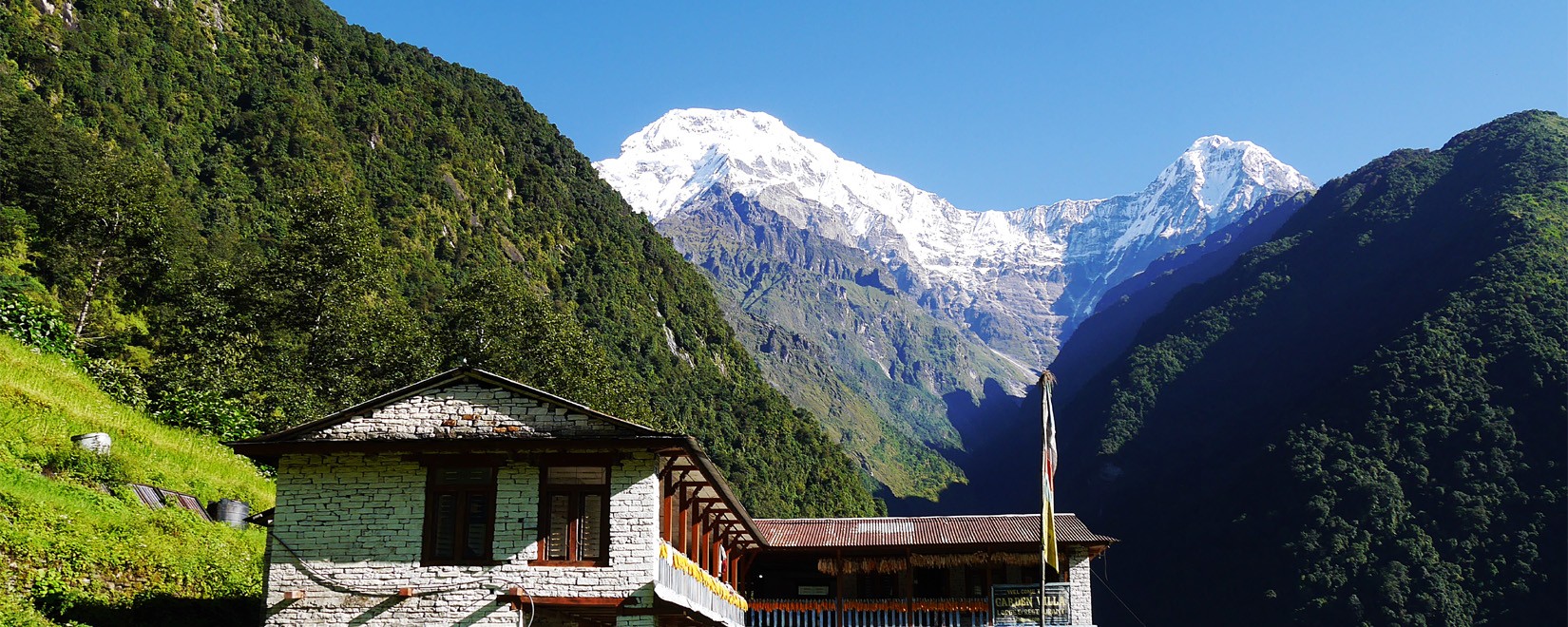
Discover the Himalayas with local adventure specialists.-
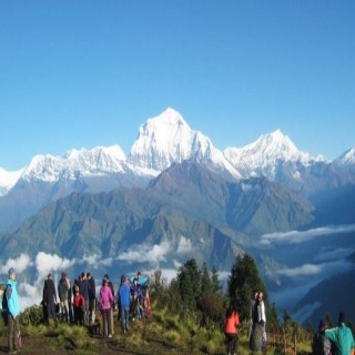
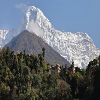
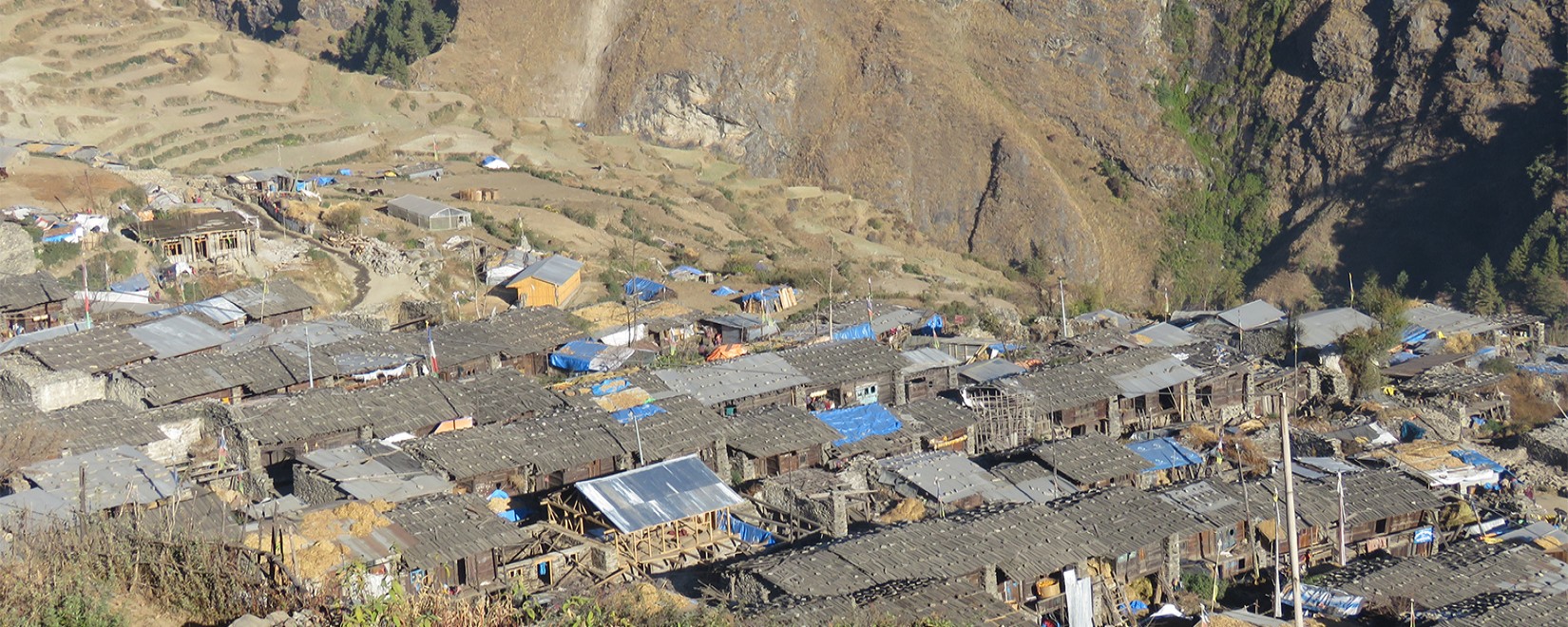
Trekking in Nepal
19 Trips -
Tour in Nepal
5 Trips -
Private Day Tours
8 Trips -
Fixed Departures
3 Trips
Trekking in Nepal with Local experts
Best Selling Packages
Discover the Himalayas with local adventure specialists.-
-
Many of the natural marvels of Nepal also hold a significant religious and cultural importance to the people. As such,…
Duration 14 DaysTrip Details -
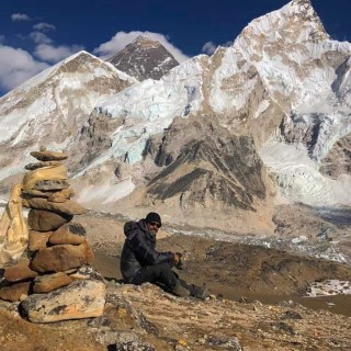
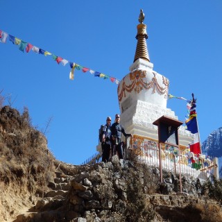
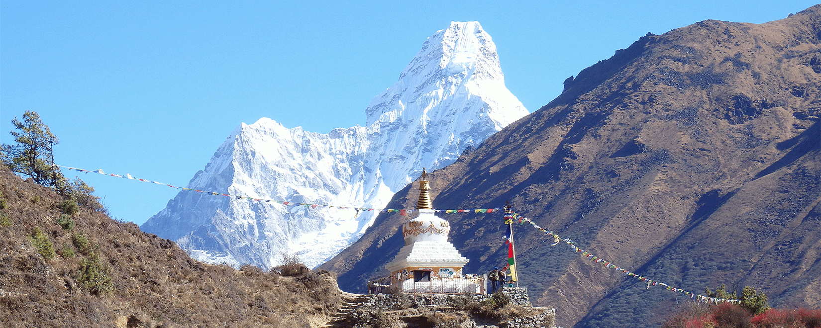
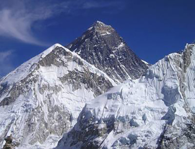
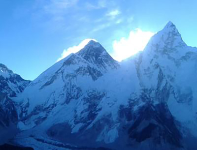
The wonderful trek to the base camp of the world's tallest mountain peak is one of the most beguiling activities…
Duration 16 DaysTrip Details -
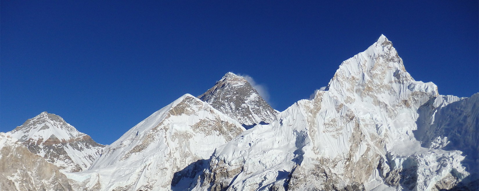
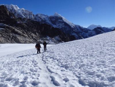
The Three Passes Trek of the Everest region is one of the most popular long-distance trekking journeys. The trek is one…
Duration 21 DaysTrip Details -
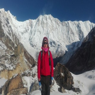
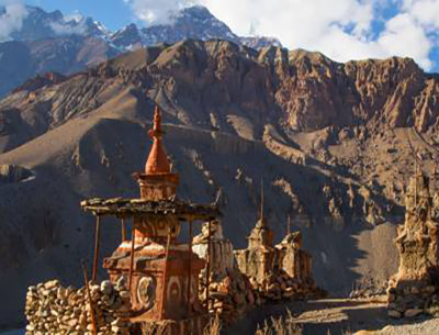
The Upper Mustang Trek presents trekkers with the opportunity to experience the exotic Tibetan Buddhist culture as it…
Duration 16 DaysTrip Details -
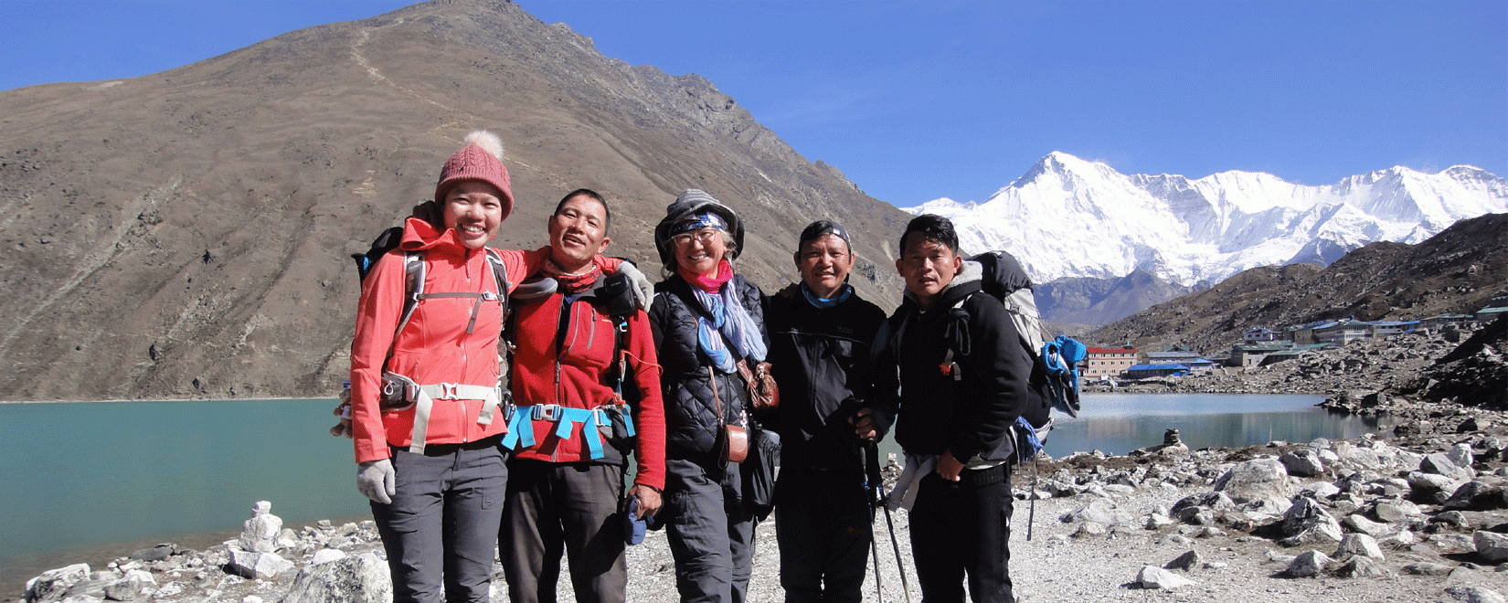
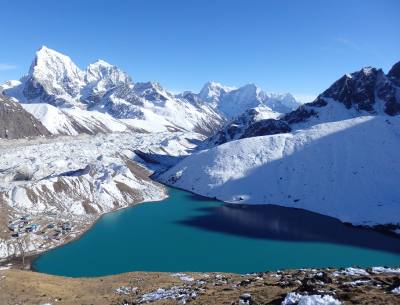
The Everest Base Camp Trek via Gokyo is a journey that, in addition to the already existing aspects of the regular base…
Duration 19 DaysTrip Details
EBC & GOKYO RI an Epic Adventure!
Thanks to Ashok and his team I was able to complete my dream solo adventure. Ashok was very thorough in his recommendations and arranged everything that I could possibly need for my 20 degree winter journey. My guide Badal was the best and being a local from Solukhumbu, I enjoyed immensely learning about his experiences growing up in the Hamalayas. I look forward to my next adventure with Destination Unlimited Treks & Expeditions.
golden Eagle, Australia
Well organized and excellent services
Asked a close of friend of mine who came trekking in Nepal one year ago which travel agent she used, and she said that she joined a 6-day trekking tour organized by Destination Unlimited. We were really only going to "trek" through Dhampus/Australian Base Camp/Sarangkot on a 3D2N thing and wanted someone to help us organize tours around Kathmandu and Pokhara as well, and honestly we were not sure whether Destination Unlimited would be a…
zhaobao, United States
Excellent services
I feel great to have Mr Ashok, Ganga and the team as my trek agent to Annapurna Base Camp (ABC). They are professional, experience and caring. They also concern on our safety and health. We had not much problem to go through avalanches and bad weather (snowing) with the team assisting. They are providing servicing with their “heart”, I will definitely recommend and return for other treks with them.
Yee Kee, Malaysia
Great trip
Destination Unlimited came through with flying colors again for us!!! Great job!!!! Helmed by Ashok Niroula, everything was well organized — good lodgings, a wonderful, amicable, responsible guide — in the person of a young man named Badal Rai, who made sure we were safe, comfortable & well fed all the way. It was a wonderful trek — despite rain, hail, snow & a near avalanche above us (Badal reacted very quickly & whisked us…
Bee Cheng, Malaysia
Perfect Everest Trek Arrangement
I spent very memorable days in the Everest region in Nepal. I used to dream to see this highest peak of the world and now I arrested it in my camera. My guide arranged everything and helped me a lot. He did not let me feel tired and boring.
Stephen Gray, Australia